Friday, October 28, 2011

Changing Course

S/v Pearl sailed one final long leg on the CA coast before she heads into Mexico. From Newport Beach to San Diego, we traveled 60 nautical miles, which at 5-6 knots, takes 10-12 hours. 
I strolled along Little Italy and toured the USS Midway, an aircraft carrier ordered during WWII, but not launched until 1945. 


This is for you, Sally!


Bob and Salty took advantage of the perfect breezes for dinghy sailing in the harbor, note s/v Pearl in the background. 

The next morning, we said good-bye to the boats in the Baja ha-ha, a flotilla of 170 boats cruising to Cabo San Lucas, Mexico with a couple planned stops along the way. 


The Buelts will be following close behind in another week once they finish last minute provisions, the installation of a water maker and other to-do’s on the list. 
As for me, after 1500+ nautical miles aboard Pearl, I’m tacking and heading inland. Borrowing words from “Carry on, Mr. Bowditch”, after losing my anchor to windward, I’ve used the past 2 months to claw off a lee shore.  I’m accepting a job offer in Denver and embarking on a road trip from San Diego through Las Vegas, into Arizona and Utah. Watch for pictures from Zion National Park, the North Rim of the Grand Canyon, Bryce Canyon, Arches, and Vail.  What an adventure it's been. What an adventure it will be. 

Monday, October 24, 2011

Newport Beach

S/v Pearl is still in

and recently anchored near the


off


From Santa Catalina Island we sailed 26 nautical miles across San Pedro Channel to Newport Beach. We caught a mooring ball just off ritzy Balboa Island. This is the home of the frozen banana and the "duffy", an electronic boat it seems everyone has off their private dock.

 .

Residents love to decorate for Halloween.  The streets are quaint and so southern California!


On our sail down to San Diego, we had the pleasure of dolphins off our bow for many miles. This never gets old!


Tuesday, October 18, 2011

Island Time

Santa Catalina Island is approximately 30 nautical miles from Marina del Rey, our previous port of call. Catalina Island is one of the Channel Islands off Los Angeles and is about 18 miles long, and five or so miles wide with the highest elevation near 2100 ft.  We anchored at the north west end of the island at Two Harbors, staying both in the southern anchorage, Catalina Harbor and the northern anchorage, Isthmus Cove.
A half mile walk separates the two harbors.

Salty and I set out for a hike on the third day there in search of a better view. This may have been his first experience with cactus...careful lifting your leg there!


We enjoyed a nice lunch at the top, sharing a PB&J sandwich.

Afterward, we both went for a swim....my first dunk in the ocean since hitting Southern CA. The water is still a bit chilly; I mean "refreshing". The shore is of soft gravel with interesting rocks and shells.


Coincidentally, there was a Latitudes and Attitudes sailing party planned for the weekend as a bon voyage to those heading to Mexico. We participated in the morning yoga, seminars, evening potluck and live music and dancing. The next day we set sail for one final anchorage on the island, Buttonshell Beach, where Bob cleaned the bottom of the hull and Shari repaired the mizzen sail. Thank goodness for the ol' hand-cranked Pfaff!


All is well on s/v Pearl.

Monday, October 10, 2011

Pump You Up!

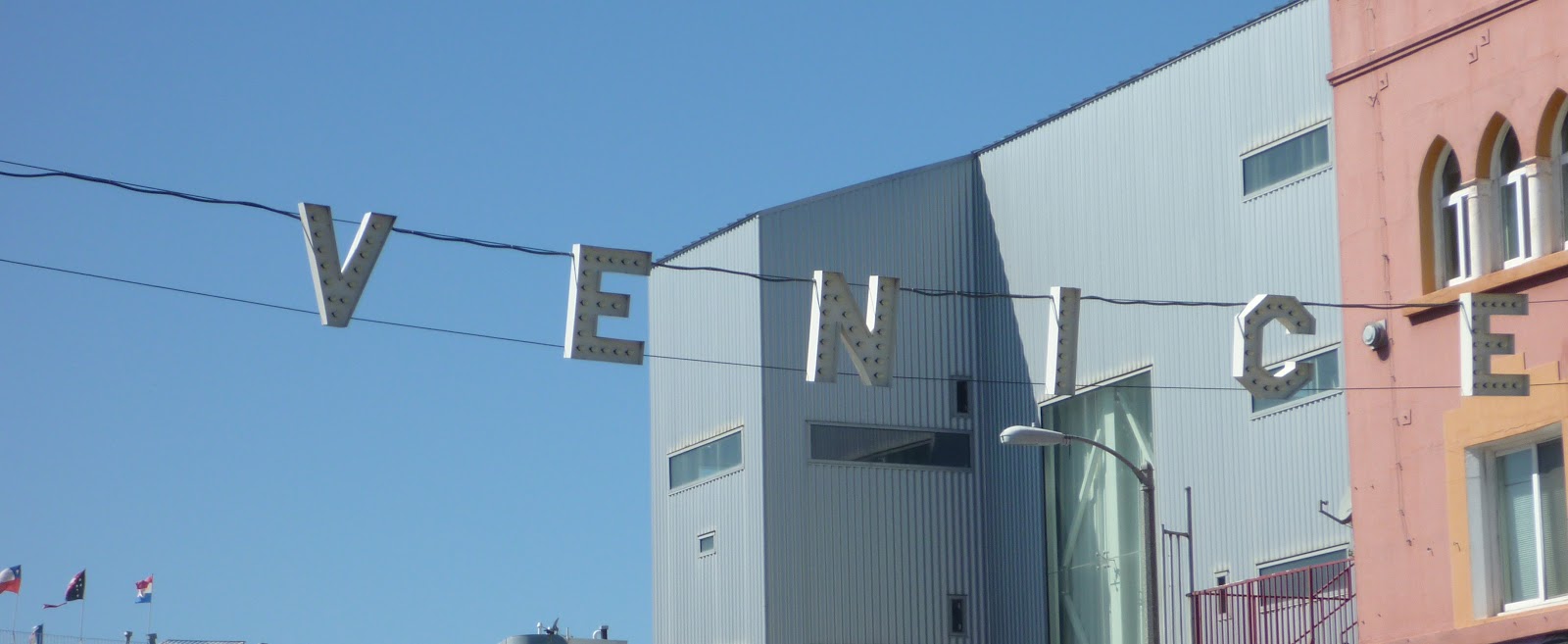
S/v Pearl is in Santa Monica Bay at Marina del Rey, walking distance to Venice Beach....and muscle beach. I don't think I've seen such an active boardwalk. Bodybuilders, gymnasts, roller skating, skateboarding, running, walking, surfing, boogie boarding, sailing, street performers, the list goes on and on. We'll be here another day, then off to Catalina Islands. 


Saturday, October 1, 2011

Latitude: 34.43 N, Longitude: 119.71 W, Santa Barbara

S/v Pearl is officially in Southern California!  We left Monterey Bay on Friday, September 23rd with the intention of a 21 hour sail down to Morro Bay. Plans were to wait there for a weather window around Point Arguello and Point Conception, two capes known for "spirited" sailing.
Oil platform off the coast of CA. There are many of them with names like Gilda, Henry, etc. 
 As we progressed down the coast, we realized our weather window was closing, so we decided not to stop and continued on around the two points, adding another 24 hours to our sail. The anchorage after Point Conception is not to be entered at night, and since we were there at 2am, we kept heading south and set anchor in the Northern Channel Islands outside of Santa Barbara at 8:30 am on Sept. 25th. We stayed on the hook for four nights at Santa Cruz Island. We had an absolutely beautiful anchorage and sandy beach all to ourselves.
Santa Cruz Island, Willows Anchorage. 
 The waters here are an amazing color and clear--we could see our anchor 35 feet below!  Extremely limited internet and cell range allowed ample time for sketching, painting, journaling, napping, and beach combing.


Six or more friendly dolphins accompanied us from the Channel Islands, and we were greeted by 50+ more when approaching Santa Barbara Harbor.

Salty is always the first to spot our water-loving friends.

Auto pilot is steering as we all peer over the bow.


We arrived in Santa Barbara Harbor on Thursday, Sept. 29th and will be here for several days.


I visited Old Santa Barbara Mission (circa 1786) yesterday.


Downtown is beautiful with tile work, fountains and Spanish architecture.


This is their court house!
This AM I went to the Farmers Market. I ate fresh figs while buying avocados, lemons, limes, grapefruit....ahh, Southern California!

All is well on s/v Pearl.

Thursday, September 22, 2011

Charming Fog?

Funny how cool, foggy weather grows tiresome when living in the Pacific northwest, but somehow adds to the charm of Carmel.  I was here 15 years ago and forgot how quaint (and wealthy) this little sea-side town is. Had a great time studying local watercolor artists, meandering in and out of cafes and coffee shops and walking along the white sand beaches the consistency of flour.  Pebble Beach is in the background.